

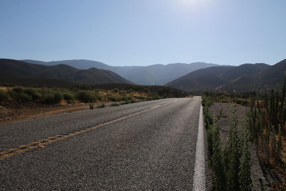
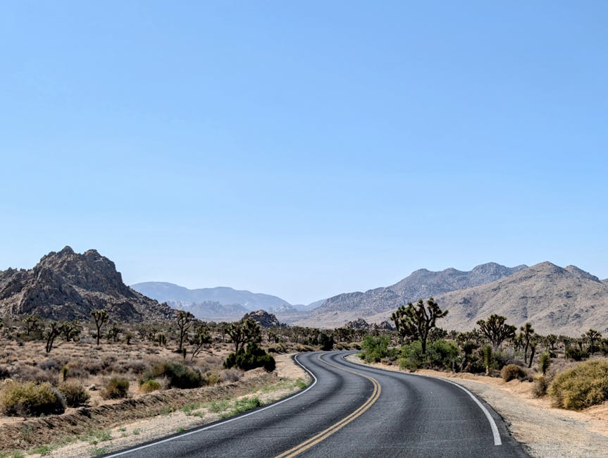
Approximately 85% of the original Route 66 is still drivable today, despite the road being officially decommissioned in 1985. This statistic surprises most travelers who assume the “Mother Road” was entirely swallowed by the interstate system. In reality, the 2,448-mile stretch from Chicago to Santa Monica remains a patchwork of historic asphalt, neon-lit diners, and kitschy roadside Americana that requires meticulous planning to navigate successfully. Understanding the geography of the route is the first step in moving beyond the clichés and experiencing the genuine cultural shift that occurs as you traverse eight states and three time zones.
Route 66 State-by-State Attraction Map and Historic Landmarks
Mapping a Route 66 journey requires a segment-based approach because the landscape and cultural flavor change dramatically every 300 miles. Starting in Illinois, the journey begins at the intersection of Adams Street and Michigan Avenue in Chicago. This eastern terminus is marked by a modest sign, but the real adventure starts as you head southwest toward the Gemini Giant in Wilmington. This 28-foot-tall Muffler Man is a relic of the 1960s space-age fascination and serves as an essential photographic milestone. Further south in Springfield, the Cozy Dog Drive-In offers a taste of history; they claim to have invented the corn dog on a stick, a staple of American fair food that remains a consistent draw for culinary historians and hungry travelers alike.
Crossing the Mississippi River into Missouri, the terrain shifts into the rolling hills of the Ozarks. St. Louis is dominated by the Gateway Arch, but Route 66 purists often prioritize the Chain of Rocks Bridge. This historic bridge features a unique 22-degree bend in the middle and is now open only to pedestrians and cyclists, providing a quiet vantage point over the river. As you move into Kansas, the route covers only 13 miles, yet it manages to pack in the Rainbow Bridge near Baxter Springs—the last remaining Marsh arch bridge on the entire route. This short stretch is a testament to the preservation efforts of local communities who refused to let their piece of history vanish.
Oklahoma boasts the longest drivable stretch of the original road. Key stops include the Blue Whale of Catoosa, a massive waterfront structure that once served as a swimming hole, and the Cyrus Avery Centennial Plaza in Tulsa, which honors the man known as the “Father of Route 66.” In Texas, the landscape flattens into the Panhandle. The Cadillac Ranch outside Amarillo is perhaps the most famous installation on the route. Here, ten Cadillacs are buried nose-first in the ground. Visitors are encouraged to bring spray paint to leave their mark, making this a constantly evolving piece of public art. Nearby, the Midpoint Café in Adrian marks the exact geographical center between Chicago and Los Angeles, offering their famous “ugly crust” pie to celebrate the halfway mark.
The western half of the journey through New Mexico and Arizona introduces the high desert and neon-soaked nights. Tucumcari, New Mexico, is home to the Blue Swallow Motel, which still features its original 1939 neon signage and provides one of the most authentic overnight experiences on the road. In Arizona, the town of Seligman is credited with the rebirth of Route 66 in the 1980s. Angel Delgadillo, the “Guardian Angel of Route 66,” turned his barber shop into a museum and gift shop that catalyzed the preservation movement. Finally, the road ends at the Santa Monica Pier in California, where a plaque marks the “End of the Trail” overlooking the Pacific Ocean.
Comparison of Iconic Route 66 Stop Types
| Category | Example Attraction | Location | Primary Appeal |
|---|---|---|---|
| Roadside Oddity | Gemini Giant | Wilmington, IL | Retro-futurism and scale |
| Interactive Art | Cadillac Ranch | Amarillo, TX | Graffiti and participation |
| Historic Lodging | Wigwam Motel | Holbrook, AZ | Unique architecture |
| Culinary Landmark | Midpoint Café | Adrian, TX | Geographic significance |
Technical Logistics: Connectivity, Finance, and Vehicle Preparation
A cross-country trip of this magnitude demands more than just a full tank of gas; it requires a robust technological and financial infrastructure. Modern travelers often struggle with the “dead zones” found in the Mojave Desert or the rural stretches of the Texas Panhandle. Relying solely on a smartphone for navigation is a high-risk strategy. For those coming from abroad, securing a reliable data plan is essential. Airalo eSIMs are a practical solution for international visitors, offering a 10GB US-only data package for approximately $26. This allows for constant GPS access without the extortionate roaming fees charged by European or Asian carriers. However, the primary drawback is that eSIMs are data-only, meaning you won’t have a local number for making dinner reservations or calling roadside assistance unless you use a VOIP service.
From a hardware perspective, documenting the trip requires gear that can handle the varying light conditions of the American West. The Sony ZV-1 II Vlogging Camera (approx. $700) is a frequent recommendation for road trippers. Its compact size makes it easy to handle at quick roadside stops, and the 18-50mm wide-angle lens is ideal for capturing the massive scale of the desert landscapes. The main disadvantage is the relatively short battery life, which necessitates a dedicated car charger or multiple spares. For those purchasing tech before the trip, retailers like Currys often provide bundles that include the necessary high-speed SD cards required for 4K video recording, which is a must if you plan to share your journey on social platforms.
Financial planning for Route 66 involves more than just fuel and food. One must account for the “hidden” costs of historic travel, such as higher-than-average prices at boutique vintage motels and the varying state taxes on rental cars. If you are renting a vehicle, expect to pay a “one-way drop-off fee,” which can range from $300 to $1,000 depending on the rental agency. To mitigate these risks, comprehensive travel insurance is non-negotiable. Allianz Global Assistance offers plans that cover trip interruption and emergency medical care, which is vital given the high cost of healthcare in the United States. The pro is the peace of mind during long desert stretches; the con is the added upfront cost, which can represent 5-10% of your total trip budget.
Pro Tip: When using a road trip planner, always include a 15% buffer in your daily budget. Small-town attractions often have unexpected entry fees, and the cost of gasoline can fluctuate by as much as $1.50 per gallon between urban centers and remote desert stations.
Seasonal Weather Patterns and Regional Driving Challenges
The timing of a Route 66 trip can make the difference between a scenic drive and a grueling endurance test. The route traverses vastly different climates, from the humid continental climate of the Midwest to the arid desert of the Southwest. Driving the route in the height of summer (July and August) is often discouraged by experienced travelers. Temperatures in the Mojave Desert frequently exceed 110°F (43°C), which puts immense strain on vehicle cooling systems and makes outdoor exploration of landmarks like Oatman, Arizona, physically taxing. Furthermore, the Midwest is prone to severe thunderstorms and occasional tornadoes during the late spring and early summer months, which can lead to road closures and detours.
The optimal windows for a Route 66 journey are late spring (May to early June) and early autumn (September to October). During these periods, the weather is generally mild across the entire 2,400-mile span. Autumn is particularly favored because the “leaf-peeping” season in the Ozarks provides a stunning backdrop through Missouri and Oklahoma. However, travelers should be aware that many seasonal attractions and smaller museums may begin to reduce their hours or close entirely after Labor Day (the first Monday in September). Planning around these operational windows is critical if you have specific “must-see” locations on your itinerary.
Winter travel on Route 66 presents a different set of challenges. While the desert sections are pleasantly cool, the segments through Illinois, Missouri, and the high-altitude regions of New Mexico (near Santa Fe) can experience heavy snow and ice. Route 66 was historically known as the “Year-Round Road” because it avoided the worst of the Rocky Mountain passes, but modern travelers should still be prepared for winter driving conditions. If you choose a winter trip, ensure your vehicle is equipped with an emergency kit, including blankets and a portable jump starter. Retailers like Argos or Boots are excellent stops for assembling a travel-ready first aid and emergency kit before you depart from major cities.
Monthly Weather Expectations by Region
- April – May: Mild temperatures; high chance of rain in the Midwest; wildflowers in Texas.
- June – August: Intense heat in AZ/CA; peak tourist crowds; long daylight hours.
- September – October: Most stable weather; fall foliage in MO; fewer crowds.
- November – March: Possible snow in IL/MO/NM; many roadside attractions closed; lower accommodation rates.
Navigation Strategies for Locating Original Road Alignments

One of the most complex aspects of a Route 66 road trip is the fact that the road changed its path multiple times over the decades. These different paths are known as “alignments.” For example, the 1926 alignment through New Mexico took travelers through Santa Fe, while the post-1937 alignment bypassed the city to provide a more direct route to Albuquerque. A standard GPS or Google Maps will almost always default to the fastest route, which usually means the I-40 or I-55 interstates. To truly follow the historic path, you must use specialized navigation tools and look for the distinctive brown “Historic Route 66” signs that local governments have installed to guide tourists.
The EZ66 Guide for Travelers by Jerry McClanahan is widely considered the gold standard for navigation. Unlike digital maps, this spiral-bound book provides hand-drawn maps that highlight every turn and detour required to stay on the historic asphalt. It also points out “dead ends” where the road abruptly stops at a fence or a collapsed bridge, preventing frustrating u-turns. For those who prefer a digital-first approach, the Route 66 Navigation app is a dedicated tool that provides turn-by-turn directions specifically for the historic alignments. It functions much like a standard GPS but is programmed to avoid the interstates wherever possible, ensuring you don’t miss hidden gems like the Hackberry General Store in Arizona.
Navigating the original road also requires a shift in mindset. You will frequently find yourself driving through decaying towns that were bypassed by the interstate. These areas offer a poignant look at the economic impact of the highway system on rural America. While some sections of the old road are well-maintained, others are riddled with potholes or have been downgraded to gravel. If you are driving a low-clearance vehicle, exercise caution on the Oatman Highway (Sitgreaves Pass) in Arizona. This section is famous for its sharp hairpins and lack of guardrails, offering a thrilling but potentially nerve-wracking driving experience. It is these technical challenges that make the journey more than just a drive; it is an active engagement with the history of American infrastructure.
Finally, remember that the “map” of Route 66 is as much about the people as it is about the geography. Stopping to talk to the business owners in towns like Cuba, Missouri, or Williams, Arizona, provides context that no guidebook can replicate. Many of these individuals are second or third-generation proprietors who have seen the road at its peak, its decline, and its current resurgence. By supporting these local businesses—whether it’s buying a souvenir at a trading post or a coffee at a restored gas station—you are directly contributing to the continued existence of this historic corridor. Use your road trip planner not just as a schedule to be followed, but as a framework for discovery along the most famous road in the world.